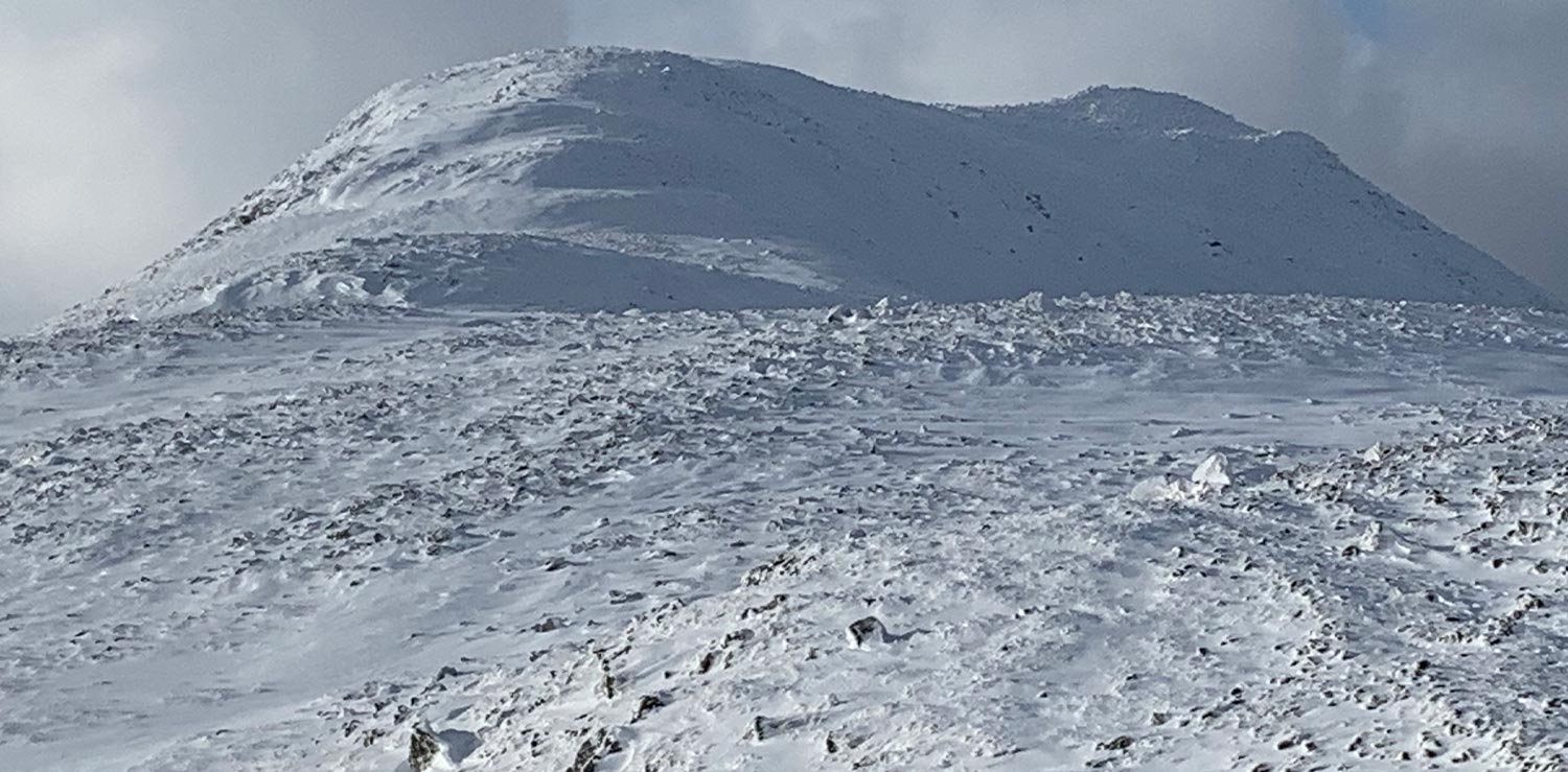
Emergency on the hills
- by David Alcock
-
Using GPS and smartphones as navigation aids
GPS devices and smartphones are increasingly being used for navigation in the mountains and when they work are a great aid to navigation and will let you pre-plot a route which you can then follow. BUT, and a big but is that these can fail, loose power, get damaged or wet and if this this is your only source of navigation, then you might find yourself in trouble. Mountain Rescue Teams respond to many call-outs because of GPS/smartphone failure, inappropriate route choice or because people are unable to use the technology effectively. With this in mind, yes, use them but always have a map and compass and know how to use them.
Learn more about map reading here:
Navigation | Mountaineering Scotland
UKH Articles - Beginner's Navigation: Tips, Tricks and Exercises (ukhillwalking.com)

Map and compass
You need to be able to read a map and understand from the map what the terrain will be like, choose suitable routes from it and be able to make decisions about changing your route if you need to. Every hill and mountain walker needs to learn how to interpret a map, and to navigate effectively using a map and compass, including in poor visibility.

Finding your location on a phone.
Download the free OS Locate app onto your phone. A simple, quick tool which shows your location in a OS Grid Reference format which you can transfer onto your map to confirm your location.
Remember, any form of modern navigation technology should be viewed as an additional ‘tool of the trade’ to add to your navigation tool box. It should never be relied upon as a stand-alone method to navigate.
Used by Mountain Rescue volunteers, there are a number of features in the OS Maps app to help you stay safe. Download it here.

Definitely worth a mention is SARLOC SARLOC on the App Store (apple.com) which was developed for use on the hills of the UK by Mountain Rescue personnel and has saved many lives. Free and easy to use.

A great app to download before you go anywhere is what3words (what3words.com). They have divided the world into 3m squares and given each square a unique combination of three words.
what3words addresses are easy to say and share, and as accurate as GPS coordinates. This is used by all emergency services and can help find your location.
Leave a route card
It would always be advised to leave some details regarding your intended route choice and planned stops. This can be as simple as leaving a brief overview regarding your plan for the day and your expected time of return. In the event of you getting into difficulties in the mountains, these few brief details could make an important difference for the Police and Mountain Rescue Teams and could safe your life.
Please note: The Police have a dedicated phone number, 101, which can be used in the event of non-emergency situations, such as when someone is concerned about their partner who is overdue coming off the hill.
The ‘Clive’ Campaign Form
You can leave this form with family, friends, an accommodation provider or, failing that, inside your car. This form has been created by friends and colleagues of Clive Dennier who went missing in the Kinlochourn area in March 2013. Click here to download a form.

If you find yourself lost, don’t panic. Stay positive and know that you can either find your location by gathering as much information about your surroundings and key features. You could try taking a back bearing from these to plot your current location. You might consider staying fast on the mountain until daybreak and clear weather. This is often safer than stumbling around in the dark, potentially near dangerous edges. There might be other walkers in the area and blowing on your whistle will alert these who can possibly guide you to safety.
If you need help or you see another hiker/climber in need of help, then don't hesitate and report it to Mountain Rescue Incident via 999 and don't be afraid to ask for help before a situation becomes serious.
For more advice and tips, please visit https://www.mountaineering.scot


